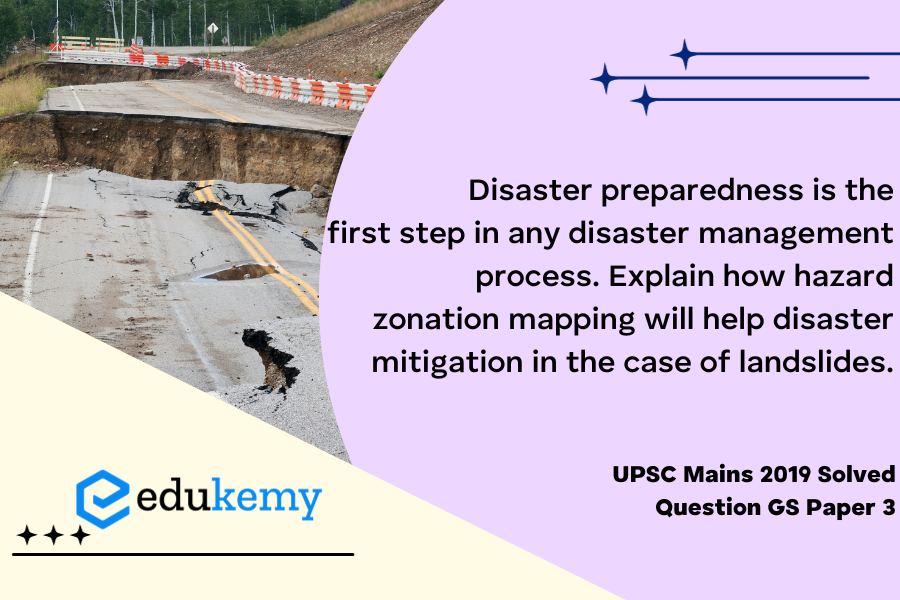
Disaster preparedness serves as the cornerstone of effective disaster management, and among its crucial components, hazard zonation mapping stands out as a pivotal tool for mitigating the impacts of natural disasters, particularly in the case of landslides. Landslides, characterized by the rapid movement of rock, soil, and debris down a slope, pose significant threats to communities and infrastructure. Hazard zonation mapping involves the systematic assessment and classification of areas based on their susceptibility to various hazards, offering a strategic approach to disaster mitigation. In the context of landslides, this mapping technique allows authorities to identify high-risk zones, enabling them to implement targeted preventive measures and allocate resources efficiently.
Through hazard zonation mapping, geographical areas prone to landslides can be categorized based on factors such as topography, soil composition, and historical landslide occurrences. This detailed analysis provides a comprehensive understanding of the dynamics and vulnerability of specific regions, empowering decision-makers to formulate informed disaster management strategies. For instance, areas identified as high-risk can benefit from engineering interventions like slope stabilization measures, early warning systems, and land-use planning regulations that restrict vulnerable developments. Conversely, low-risk zones may require less intensive intervention, optimizing resource allocation.
Tag: Disaster and disaster management.
Contents
Decoding the Question:
- In the Introduction, try to write about disaster preparedness.
- In Body,
- Justify disaster preparedness as a first step towards disaster management.
- Discuss the role of hazard zonation mapping in disaster mitigation in landslides.
- Try to conclude by writing about the significance of disaster preparedness.
Answer:
Disaster preparedness refers to measures taken to prepare for and reduce the effects of disasters. That is:
- To predict and prevent disasters.
- Mitigate their impact on vulnerable populations.
- Respond to and effectively cope with their consequences.
Disaster preparedness works on the assumption that disasters will happen, and that, given that, measures can be implemented to reduce the effect of the disaster. Disaster preparedness involves:
- Risk assessment (to point out which measures to implement) and early warning systems
- Life safeguarding equipment, for example, cyclone shelters
- Resources and emergency kits in anticipation of need, maintaining emergency rosters and evacuation plans, emergency information and communication systems
- Training to ensure adequate emergency response capacity, maintenance of preparedness levels, public education, and preparedness campaigns.
Landslide: Landslide involves the mass movement of loose soil and uncompact rock materials under the effects of gravity along a sliding plane. According to a recent study, India is among the most landslide-affected countries, accounting for at least 28% of such events in the past 12 years. In such a scenario, hazard zonation mapping will help disaster mitigation in the case of landslides.

Role of hazard zonation mapping in mitigating landslide:
- Identifying vulnerable areas: By hazard zonation mapping will help authorities to manage landslides. For example, mountain slopes which have less vegetation are prone to landslides.
- Moving local settlements: Hazard zonation mapping will help in moving out local human settlements. For example, houses located on the mountain slope and at the foot of the mountain slope need to be relocated.
- For capacity building: Landslide zonation mapping will help in the capacity building of local people. In case a landslide happens then how to deal with the disaster, what needs to be done, building temporary shelters. Capacity building will also help in building landslide-resilient infrastructure, especially bridges, roads, etc.
Landslides and their consequences are still a great problem for many countries, particularly in India due to rapidly increasing populations. The most recent example is that of Kerala. For this reason, landslide hazard zonation mapping serves as one of the many components in integrated disaster management planning. . Disaster preparedness is a constant and evolving feature as the nature and intensity of any disaster are not the same at given places.
In case you still have your doubts, contact us on 9811333901.
For UPSC Prelims Resources, Click here
For Daily Updates and Study Material:
Join our Telegram Channel – Edukemy for IAS
- 1. Learn through Videos – here
- 2. Be Exam Ready by Practicing Daily MCQs – here
- 3. Daily Newsletter – Get all your Current Affairs Covered – here
- 4. Mains Answer Writing Practice – here


