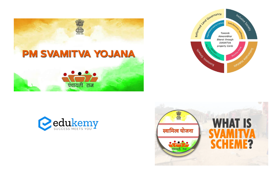
SVAMITVA (Survey of Villages and Mapping with Improvised Technology in Village Areas) scheme is a collaborative effort of the Ministry of Panchayati Raj, State Panchayati Raj Departments, State Revenue Departments and Survey of India. It is a Central Sector Scheme. It seeks to give ownership of property in rural inhabited areas, by mapping land parcels using drone technology and providing a ‘Record of Rights’ to village household owners with the issuance of legal ownership cards (Property cards/Title deeds) to the property owners.
Contents
Components
- Drone survey and mapping of rural inhabited lands
- Updating of land records and property registration
- Issuance of property cards to the owners
- Development of spatial planning framework for villages
Aim:
- To provide an integrated property validation solution for rural India.
- It is a scheme for mapping the land parcels in rural inhabited areas using drone technology and Continuously Operating Reference Station (CORS).
CORS network
A Continuously Operating Reference Stations (CORS) network delivers regional positioning services. Within the CORS Infrastructure, real-time map corrections are promptly transmitted from the control center to the rover receiver, facilitating highly precise rover positioning. CORS plays a pivotal role in achieving centimeter-level accuracy in various applications such as cadastral mapping, land information management, and large-scale mapping.
Frequently Asked Questions
1.What is SVAMITVA?
SVAMITVA stands for ‘Survey of Villages and Mapping with Improvised Technology in Village Areas.’ It is a government initiative in India aimed at providing property cards to rural landowners, thereby formalizing their property rights.
2. How does SVAMITVA benefit rural landowners?
SVAMITVA empowers rural landowners by providing them with legal documentation of their property through property cards. This helps in reducing disputes, enabling access to credit, and fostering economic development in rural areas.
3. What is the significance of property cards issued under SVAMITVA?
Property cards issued under SVAMITVA serve as conclusive proof of land ownership, facilitating transactions, inheritance, and access to government services and schemes for rural landowners.
4. How is SVAMITVA implemented?
SVAMITVA is implemented through the use of drone technology and other modern surveying methods to map rural properties accurately. Once surveyed, property cards are distributed to landowners.
5. What are the broader goals of SVAMITVA?
Beyond providing property cards, SVAMITVA aims to promote digitalization of land records, enhance rural planning and development, and strengthen land governance systems in India’s rural areas.
In case you still have your doubts, contact us on 9811333901.
For UPSC Prelims Resources, Click here
For Daily Updates and Study Material:
Join our Telegram Channel – Edukemy for IAS
- 1. Learn through Videos – here
- 2. Be Exam Ready by Practicing Daily MCQs – here
- 3. Daily Newsletter – Get all your Current Affairs Covered – here
- 4. Mains Answer Writing Practice – here

