In the grand tapestry of landscapes sculpted by time’s relentless hand, peneplains occupy a unique niche. Imagine a landform – once towering mountains and rugged valleys – gently subdued into a vast, low-relief plain. This is the essence of a peneplain, a testament to the tireless sculpting power of erosion. But these seemingly featureless expanses hold a surprising repertoire of subtle features, their character shaped by the intricate dance between erosion and the underlying geology, all orchestrated by the grand conductor of geomorphic cycles. Delving into this realm, we will explore the diverse tapestry of peneplain landscapes, unveiling the unique signatures each geomorphic cycle leaves on their surface, from the rolling monadnocks of youthful uplift to the weathered inselbergs that stand sentinel under the weight of ancient time. So, buckle up, for we embark on a journey into the world of peneplains, where erosion whispers its secrets in the whisper of the wind and the gentle curve of the land.
Contents
Answer
Peneplain is the end product of the Davisian(W M Davis) cycle also called the Penultimate (final) stage. It refers to the featureless plain. According to the normal cycle of erosion of Davis landform can’t degrade beyond this.

There is a contrast that we can see between peneplain (Davis) and Pediplain (L C King) where peneplain as a result of erosion alone is a Penultimate stage whereas peneplain is not necessarily referred to as a final stage.
Landscape features are associated with the peneplain under different geomorphic cycles.
Normal Cycle of erosion featuring peneplain :-
- Peneplains are flat and gentle topped with a convexo-concave in shape.
- The locally produced featureless plain of subdued relief with a larger landmass is local or incipient peneplain as it represents 1st phase of peneplanation.
- Regional peneplain as a second stage of peneplanation represents the coalescence of local peneplain together
- Monadnocks – Resistant rock remains as residual and projects above the general peneplains.
- Ex – Stone Mountain in Georgia, Aravallis , Telangana Plateau

Peneplain of 2nd cycle of Erosion.
- Upliftedpeneplains are topographic expressions of rejuvenation under 2nd cycle of erosion
- Uplifted Peneplains are represented by their remnants of accordant summit of the present day plantation surface.
- Ex- Schooley peneplain
- Ex- Harrisburg peneplain
- Ex- Summerville peneplain
- Ex- Platlands of Ranchi Plateau

Shortened cycle of erosion
- Resurrected Peneplains also called buried peneplains are submerged under the sea is indicative of accelerated alluviation (deposition)
- Ex- Granite-gneissic peneplain surface
- Ex- Chhechari basin of Palamau upland (Bihar)
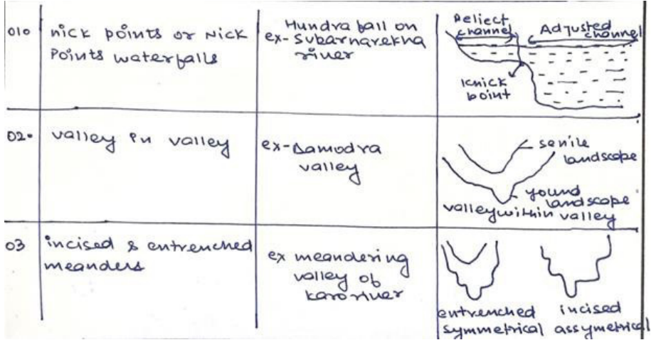
However, these cycles of erosion get interrupted due to climatic changes or volcanic eruptions may lead to changes in peneplain features and generate polycyclic(multi-cyclic) reliefs.
In case you still have your doubts, contact us on 9811333901.
For UPSC Prelims Resources, Click here
For Daily Updates and Study Material:
Join our Telegram Channel – Edukemy for IAS
- 1. Learn through Videos – here
- 2. Be Exam Ready by Practicing Daily MCQs – here
- 3. Daily Newsletter – Get all your Current Affairs Covered – here
- 4. Mains Answer Writing Practice – here

