16 Nov SWAMITVA Scheme -property cards in hand, Uttarakhand villagers now look to securing bank loans-The Indian Express
 Published on
Nov-24-2020
Published on
Nov-24-2020
· SWAMITVA scheme: Property cards in hand, Uttarakhand villagers now look to securing bank loans-The Indian Express-16th November
(GS 2- Transparency and accountability, e-governance applications, GS 3- Land reforms in India; GS-4 Probity in Governance: Quality of Service Delivery)
In News
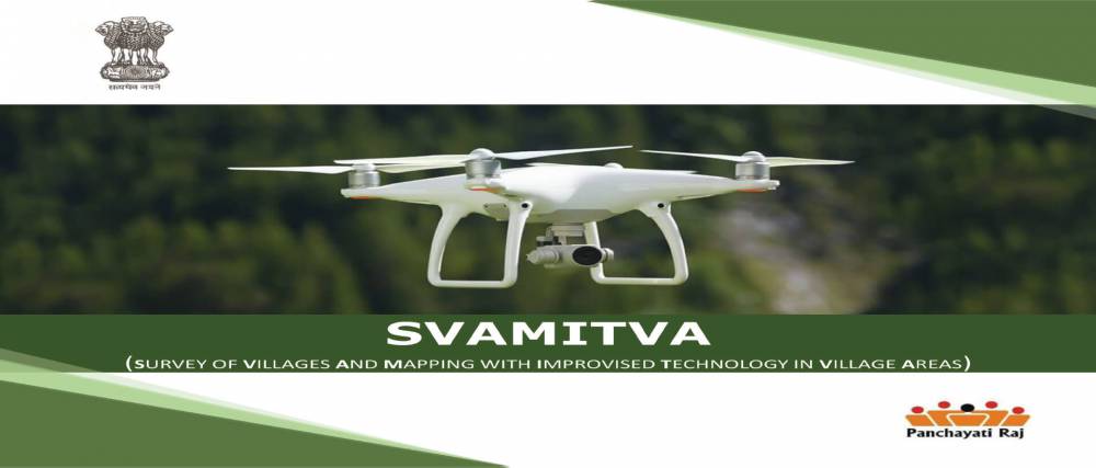
· Distribution of property cards under Survey of Villages and Mapping with Improvised Technology in Village Areas (SVAMITVA) scheme has begun in Uttarakhand.
About Survey of Villages and Mapping with Improvised Technology in Village Areas (SVAMITVA) scheme
o Launched on: 24 April 2020 (National Panchayati Raj Day)
o Aim: Issuance of Property card to the rural household owners
o Nodal Ministry: Ministry of Panchayati Raj
o Technology Implementation Agency: Survey of India
o Nature of Scheme: Central Sector Scheme
o Timeframe: 2020-2024
Rationale for SVAMITVA Scheme
o Land records, as are available today, do not reflect the on-ground position.
o Survey of rural land in India for settlement and record of rights, which were last completed about 70 years back, did not cover abadi (the abadi area includes inhabitant land, inhabited areas contiguous to Abadi and wadis/basties in rural areas ) area of villages in many States.
o Hence, in the absence of a legal document, the owner of the property in the rural areas are not able to leverage their own property as a financial asset acceptable by the banks for the purpose of providing loans and other financial assistance.
Land as an Asset
o Land as an asset is unique because it is immovable, and with growing population, its demand keeps increasing, while its supply is limited.
o Access to land (or land rights) has a wide-ranging impact on livelihoods, economic, and social growth.
Targets of SVAMITVA Scheme
o Survey the land parcels in rural inhabited area using drone technology across the country in a phase wise manner over the period of four years (2020 - 2024).
o Update the ‘record-of-rights’ in the revenue/property registers and issuance of property cards to the property owners.
o Facilitate monetization of rural residential assets for credit and other financial services.
o Protect the civil rights of villagers.
o Reduce disputes over land ownership in rural habited areas through issuance of Property card to the rural household owners.
o Prevent encroachment by identifying public land.
o It would pave the way for clear determination of property tax, which would accrue to the Gram Panchayats leading to better civic amenities.
o Apart from demarcation of individual rural property, other Gram Panchayat and community assets like village roads, ponds, canals, open spaces, school, Anganwadi, Health sub-centres, etc. would also be surveyed and GIS maps would be created.
o The GIS maps and spatial database would also help in preparation of accurate work estimates for various works undertaken by Gram Panchayats and other Departments of State Government.
Stakeholders Involved in Implementation
1. Ministry of Panchayati Raj ( Nodal Ministry)
2. Survey of India (Technology Implementation Agency)
3. State Revenue department
4. State Panchayati Raj Department
5. Local district authorities.
6. Property owner
7. Gram Panchayat
8. National Informatics Centre (NIC) – GIS Division
9. Other line departments having assets in Rural inhabited areas (if any) for preparing comprehensive database.
Coverage of the Scheme
o There are about 6.62 lakh villages in the country which will be eventually covered in this scheme.
o The entire work is likely to be spread over a period of four years.
o Initially pilot phase will extend to six States (Haryana, Karnataka, Madhya Pradesh, Maharashtra, Uttar Pradesh and Uttarakhand).
Components of the Scheme
| S No. | Scheme Component | Brief Description |
| 1 | Establishment of CORS Network | Continuously Operating Reference System (CORS) is a network of reference stations that provide a virtual base station that allows access to long-range high-accuracy Network RTK (Real-Time Kinematic) corrections. It supports in establishing ground control points, which is an important activity for accurate Geo-referencing, ground truthing and demarcation of lands. |
| 2 | Large Scale Mapping (LSM) using Drone | Rural inhabited (abadi) area would be mapped by Survey of India using drone Survey. It would generate high resolution and accurate maps to confer ownership property rights. Based on these maps or data, property cards would be issued to the rural household owners. |
| 3 | IEC Activities | Awareness program to sensitize the rural population about the surveying methodology and its benefits |
| 4 | Enhancement of Spatial Planning Application “Gram Manchitra” | The digital spatial data/maps created under drone survey shall be leveraged for creation of spatial analytical tools to support preparation of GPDP |
| 5 | Online Monitoring System | Online Monitoring and reporting dashboard would monitor the progress of activities |
| 6 | Program Management Unit i. National Programme Management Unit (NPMU) ii. State Programme Management Unit (SPMU) | The scheme will be implemented through the regular departmental mechanisms, which will be assisted by Programme Management Units at the National and State level |